|
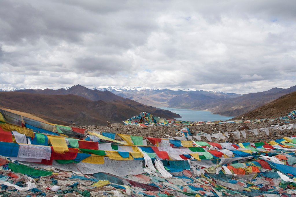 |
| On the Kampa La Pass | |
| Latitude: N 29°11'40,51" | Longitude: E 90°37'0,07" | Altitude: 4791 metres | Location: Renqinggang | State/Province: Tibet Autonomous Region | Country: China | Copyright: Ron Harkink | See map | |
| Total images: 23 | Help | |
|
|
|
| On the Kampa La Pass | |
| Latitude: N 29°11'40,51" | Longitude: E 90°37'0,07" | Altitude: 4791 metres | Location: Renqinggang | State/Province: Tibet Autonomous Region | Country: China | Copyright: Ron Harkink | See map | |
| Total images: 23 | Help | |